HD: screen narrow    STD: screen is wide, you could benefit from HD 

Scafell Pike [whiteout] [S] GradeGradeGradeGrade
REX    Nov 04, 2026 Seathwaite, Stockley Bridge, Grains Gill, Esk Hause, Scafell Pike, Esk Hause, Sprinkling Tarn, Styhead Tarn, Styhead Gill    Sprinkling Tarn      
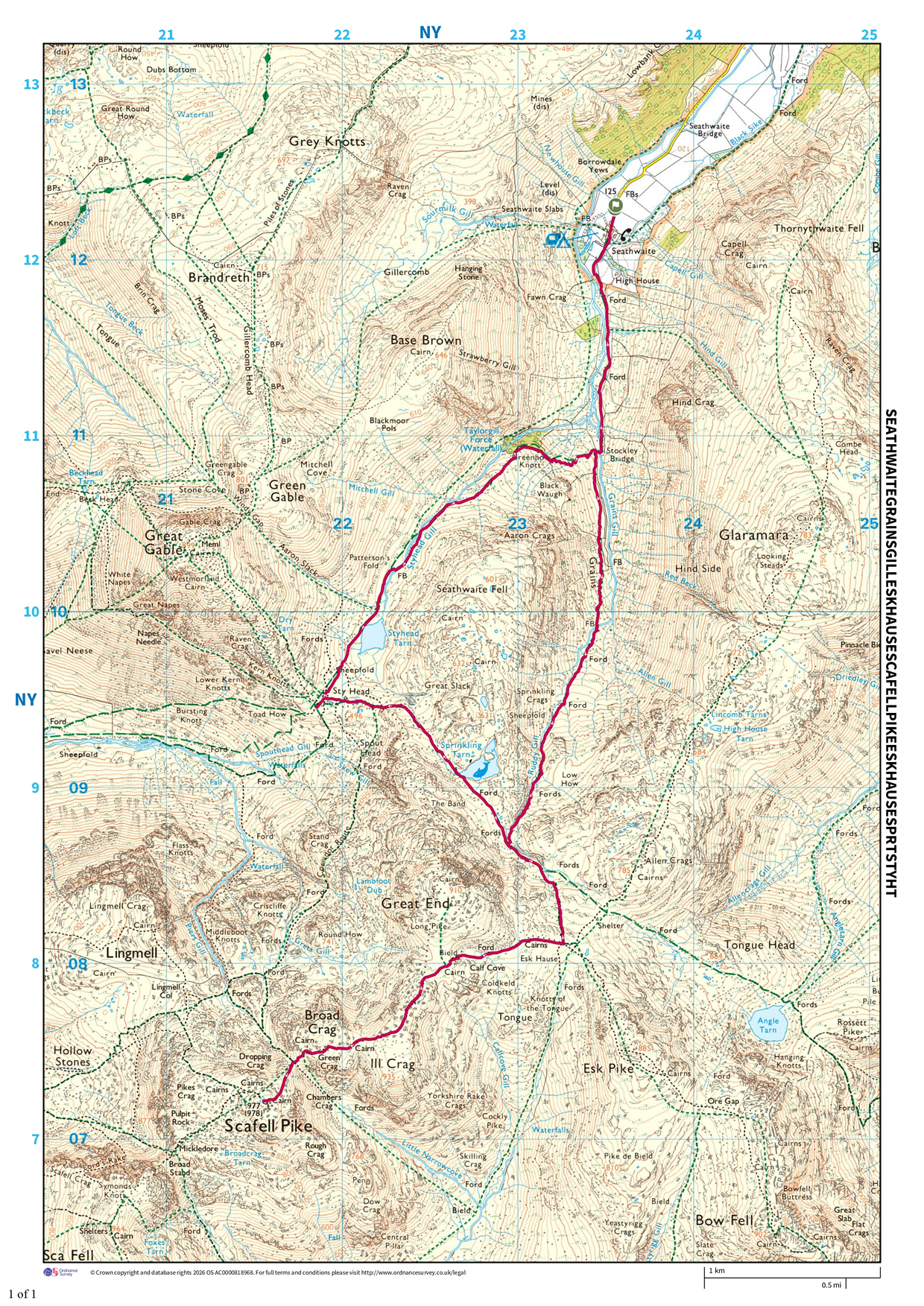
Distance 15.60 km, Time 5.57 h, Total Ascent 1,031 m     Imperial | Metric
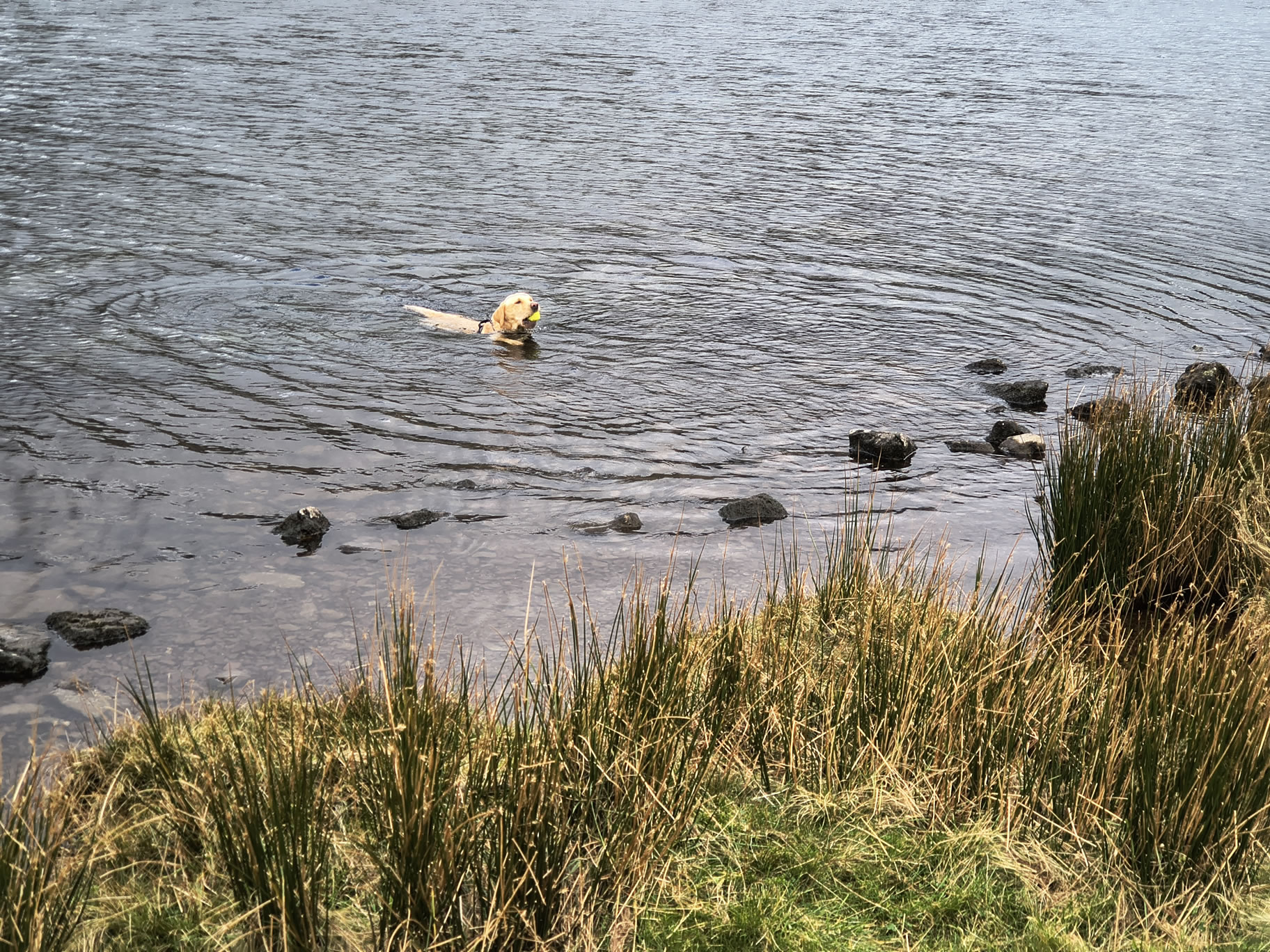
Paw REX SAYS: This was a long walk in mist with a lot of boulders. We met a few people who were lost. On the way back I had a swim in Styhead Tarn - it was very cold!
  Low clouds, mist, cold  

Today is supposed to be the best day of the week with prolonged periods of sunshine so we attack the biggie - Scafell Pike. We arrive at Seathwaite under promising weather. Unfortunately this was not to last and we had to change our planned route.

Scafell Pike [whiteout] - Image 2, Nov 04, 2026

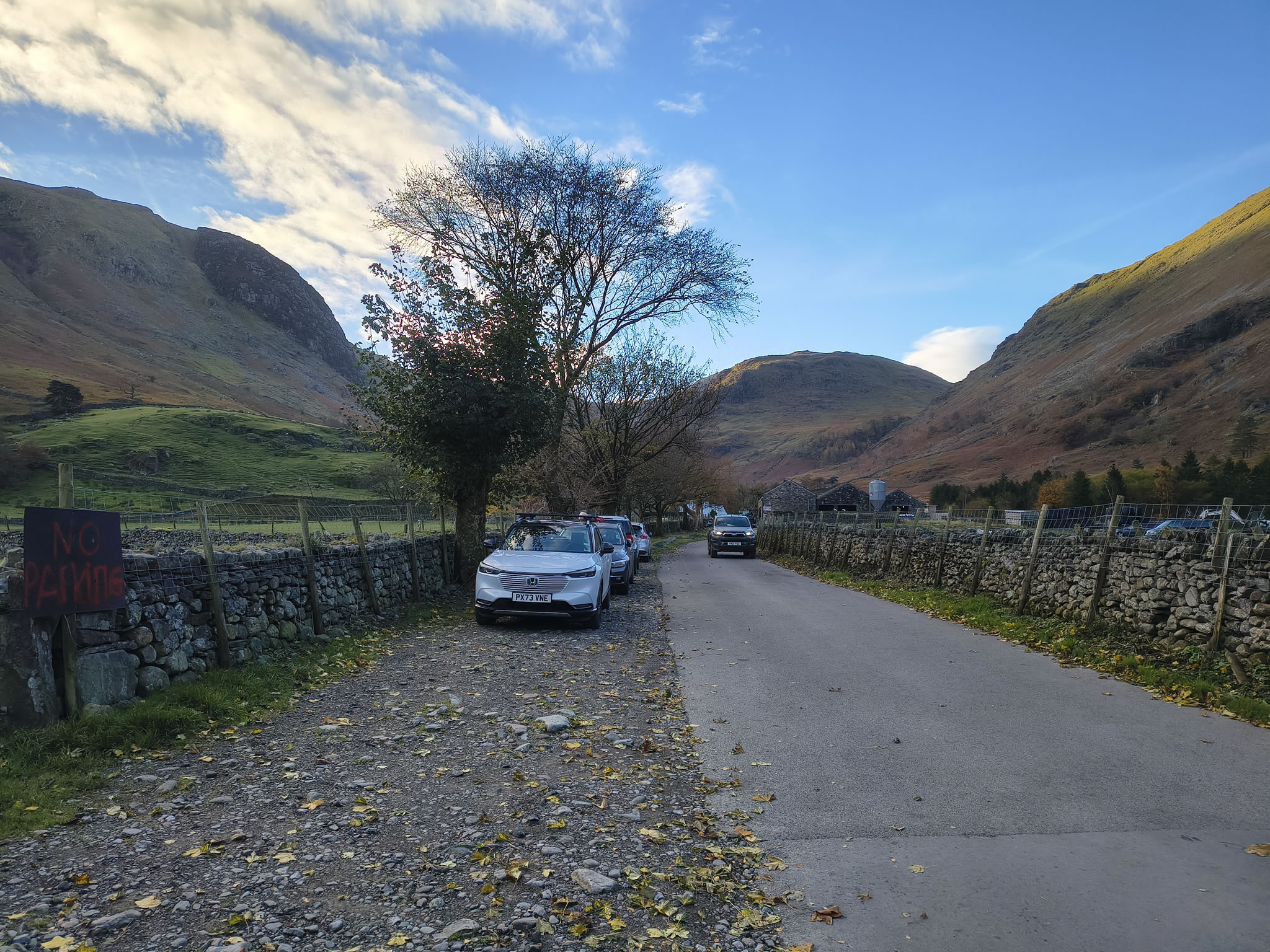
Lots of parking spaces - it's early, and it's November

Scafell Pike [whiteout] - Image 3, Nov 04, 2026

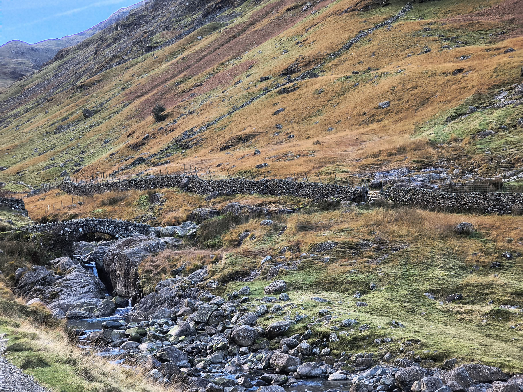
We rapidly arrive at Stockley Bridge where we cross and turn sharp left up alongside Grains Gill

Scafell Pike [whiteout] - Image 4, Nov 04, 2026

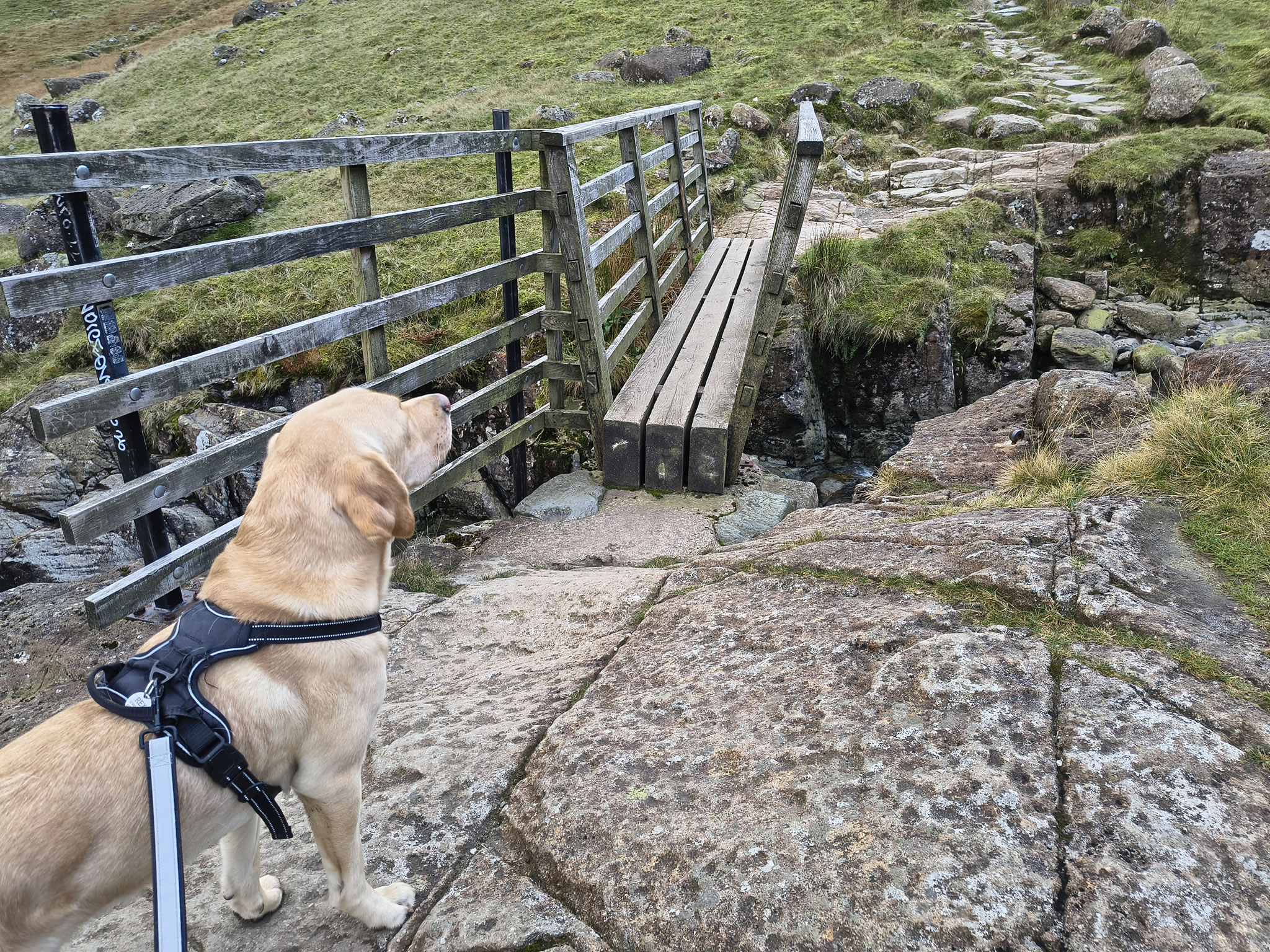
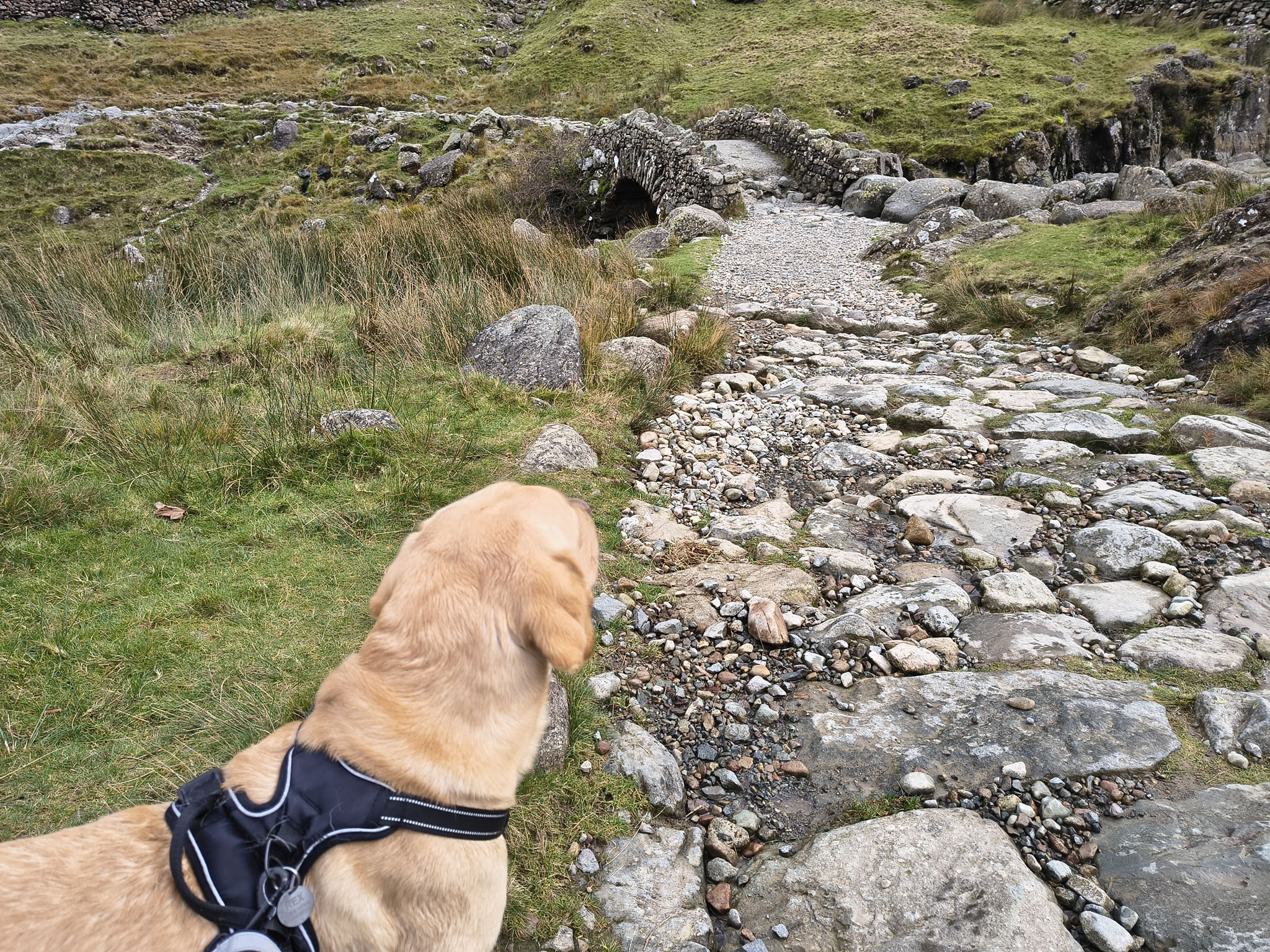
A small but strong bridge over the Gill

Scafell Pike [whiteout] - Image 5, Nov 04, 2026

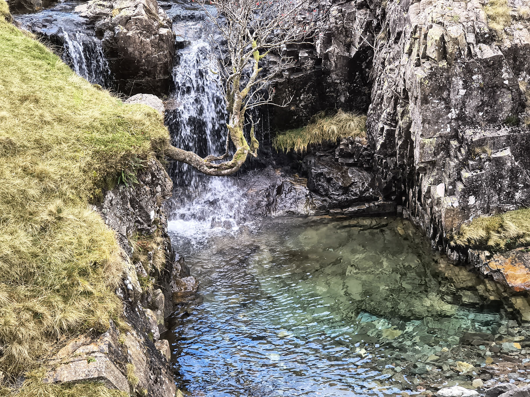
This is one of the pools on Grains Gill that are lovely to have a splash in after an ascent in hot weather

Scafell Pike [whiteout] - Image 6, Nov 04, 2026

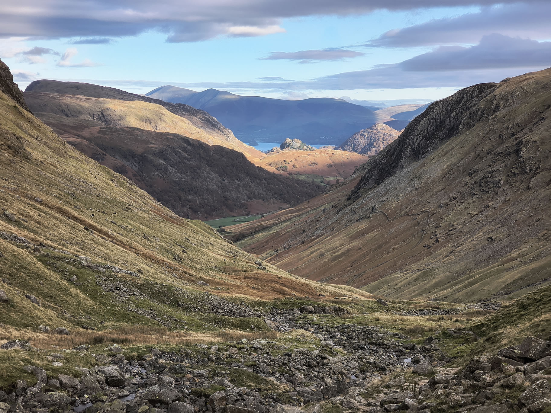
Looking behind down the valley towards Derwent Water, the weather is promising

Scafell Pike [whiteout] - Image 7, Nov 04, 2026

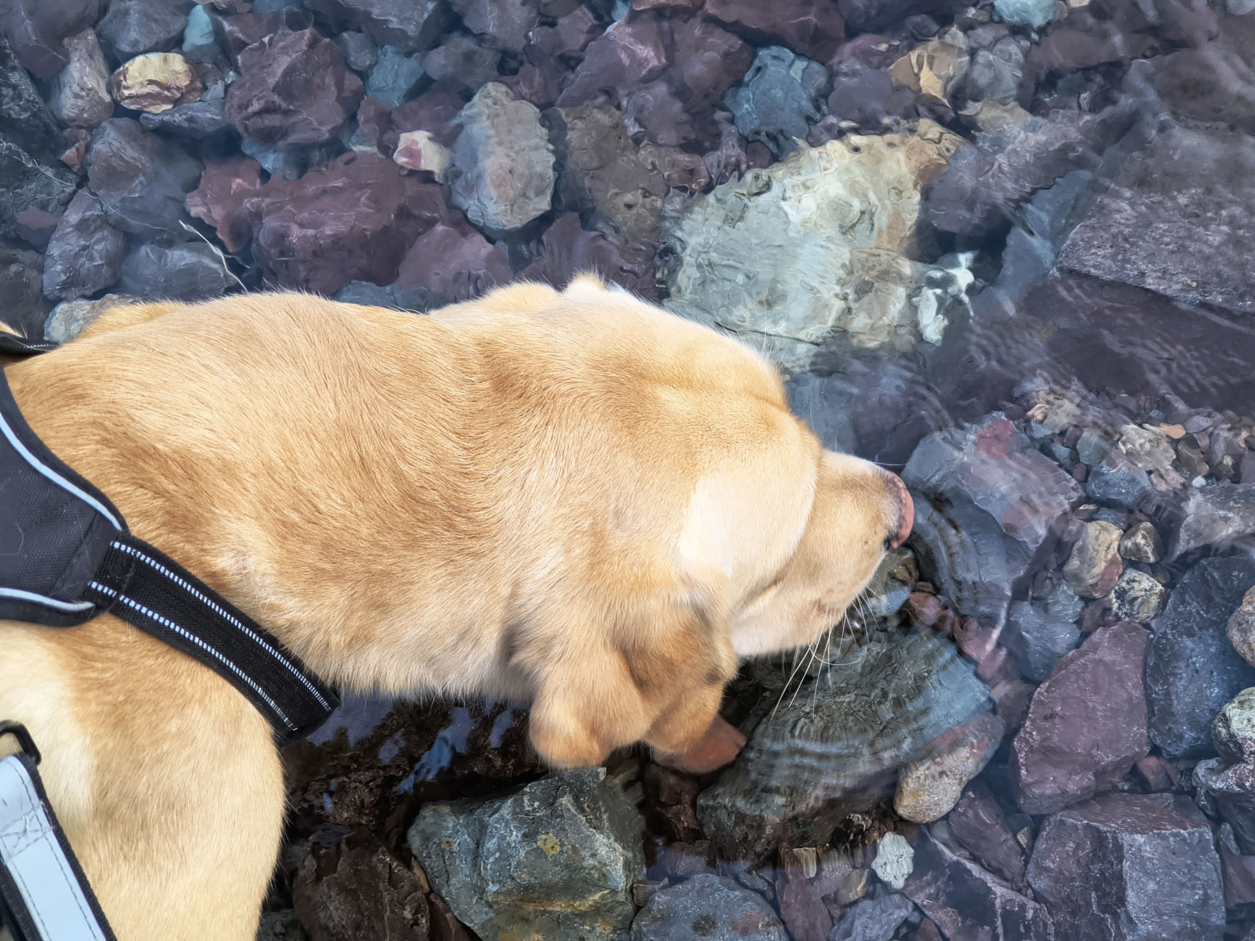
Rex has a quick drink on the way up to Esk Hause

Scafell Pike [whiteout] - Image 8, Nov 04, 2026

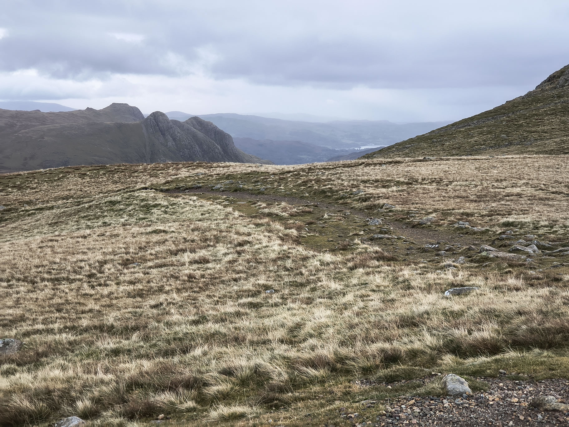
which we reach easily. Here are the Langdale Pikes

Scafell Pike [whiteout] - Image 9, Nov 04, 2026

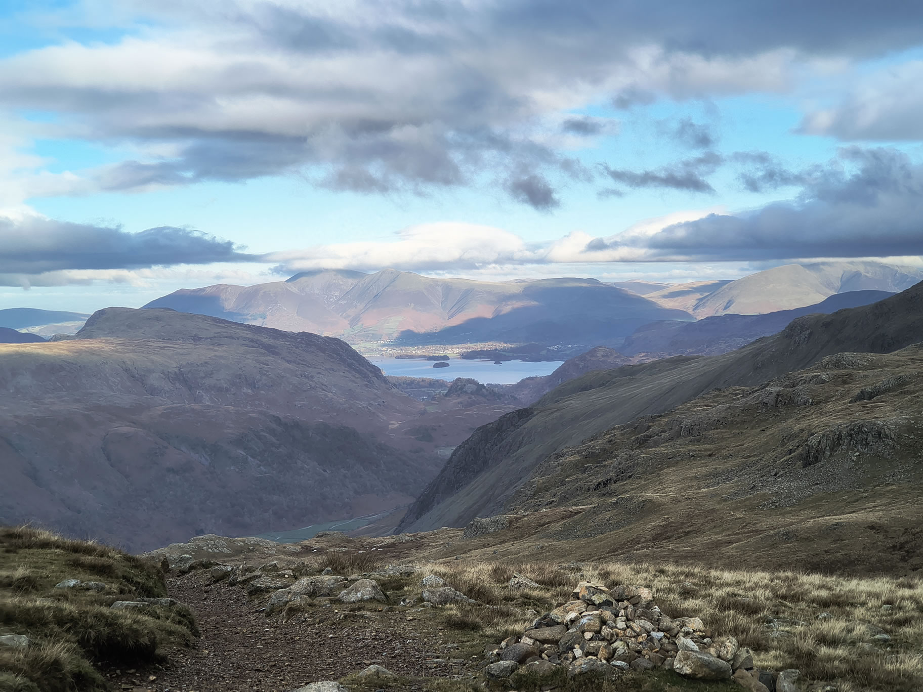
Looking back Northwards towards the Skiddaw massif

Scafell Pike [whiteout] - Image 10, Nov 04, 2026

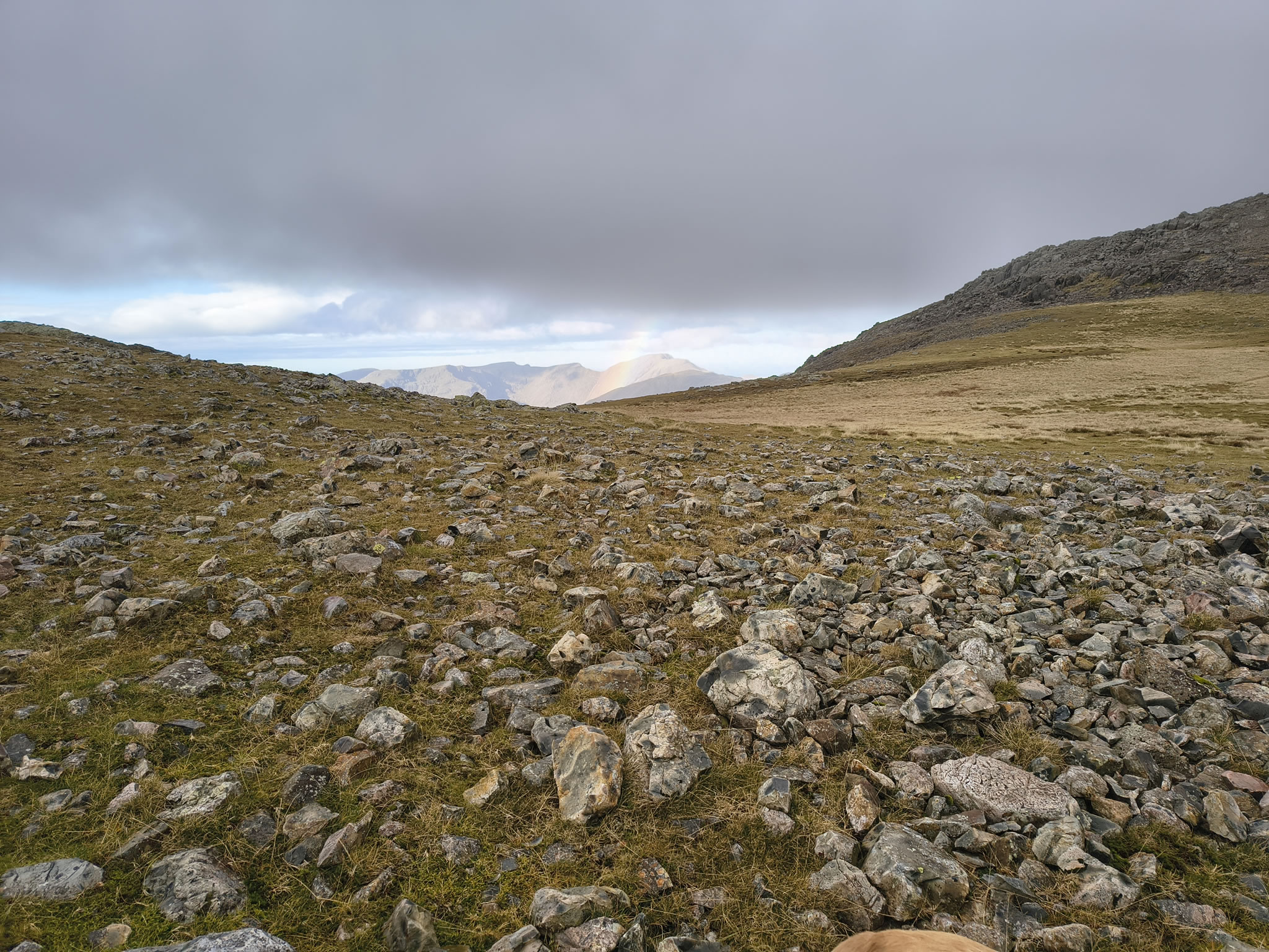
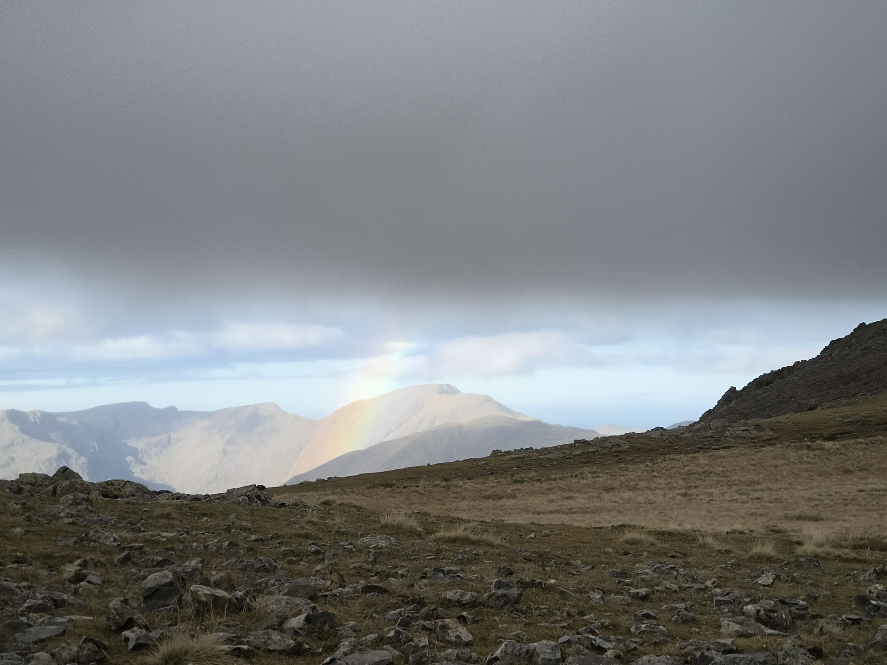
Suddenly the weather changes and we see a rainbow

Scafell Pike [whiteout] - Image 11, Nov 04, 2026

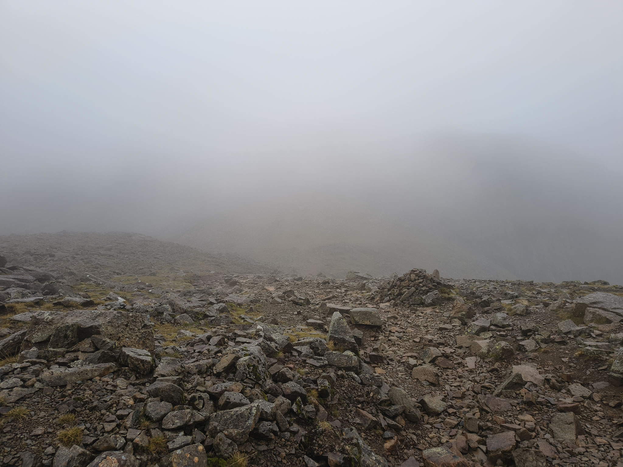
As the skies darken, we find ourselves in

Scafell Pike [whiteout] - Image 12, Nov 04, 2026

almost zero visibility. Time lapsed: 5 mins

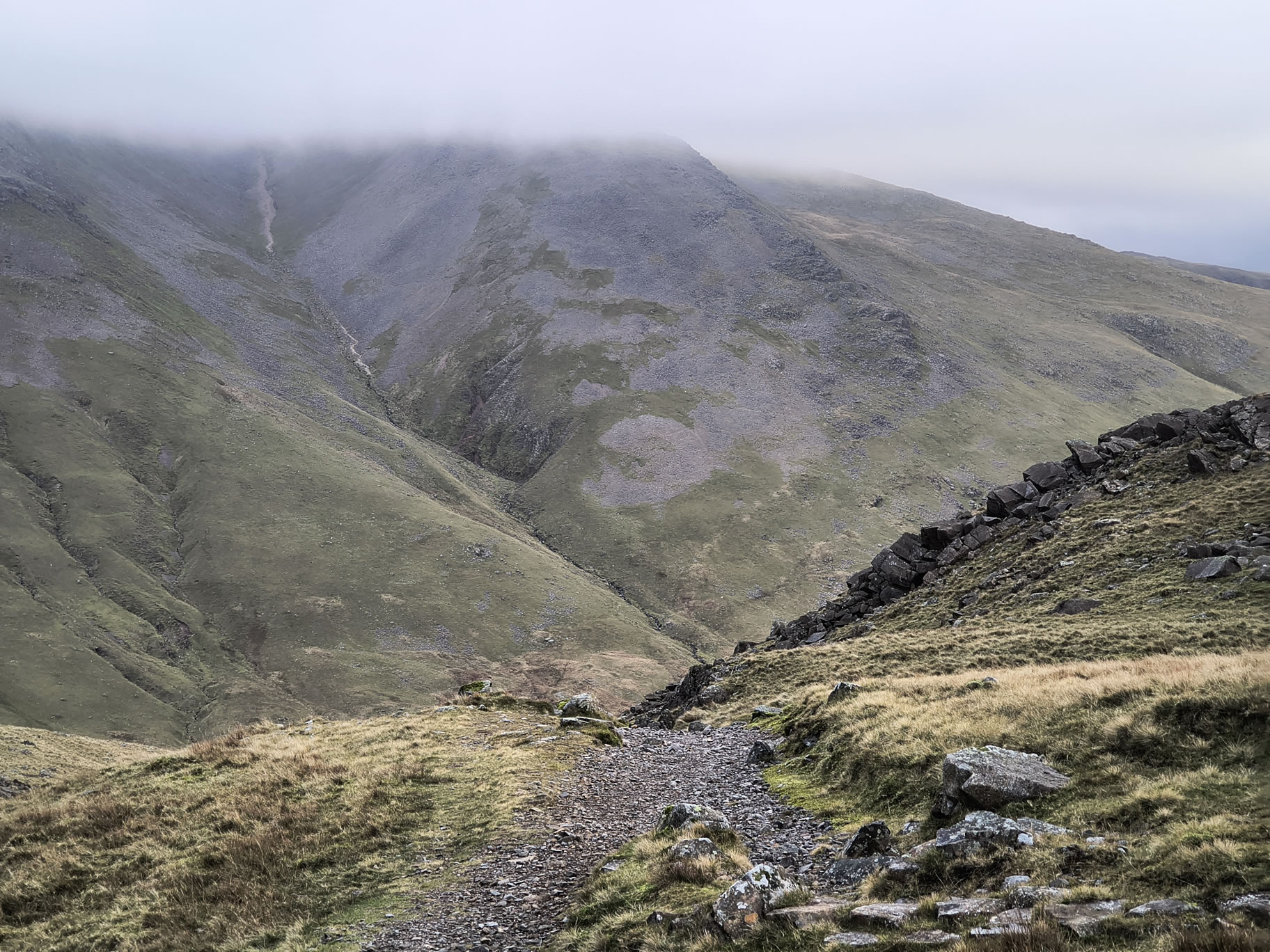
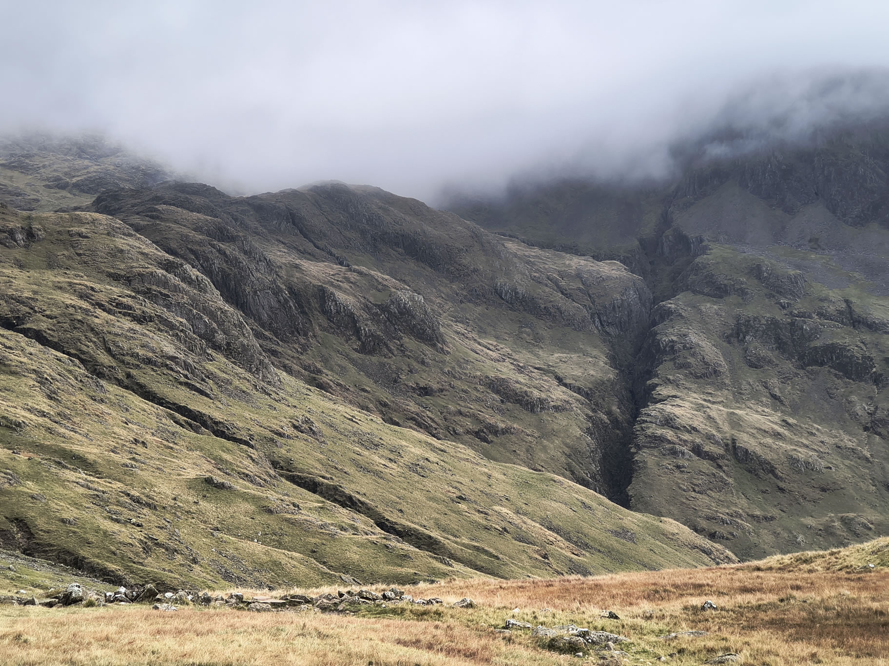
As we past Great End we can see there there is no value in hiking to the summit, although the excursion would be minor. We are in very low visibility.

Scafell Pike [whiteout] - Image 13, Nov 04, 2026

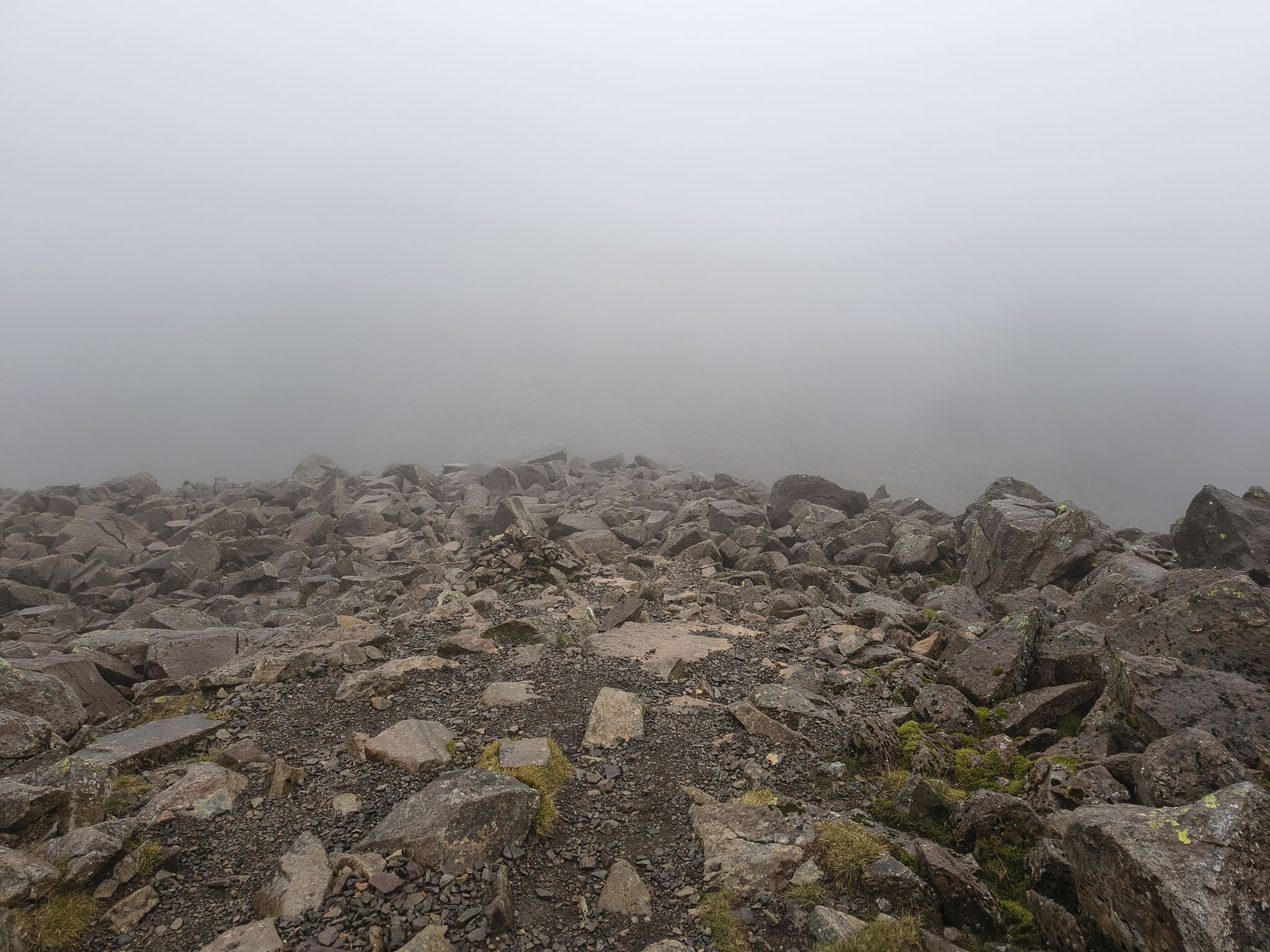
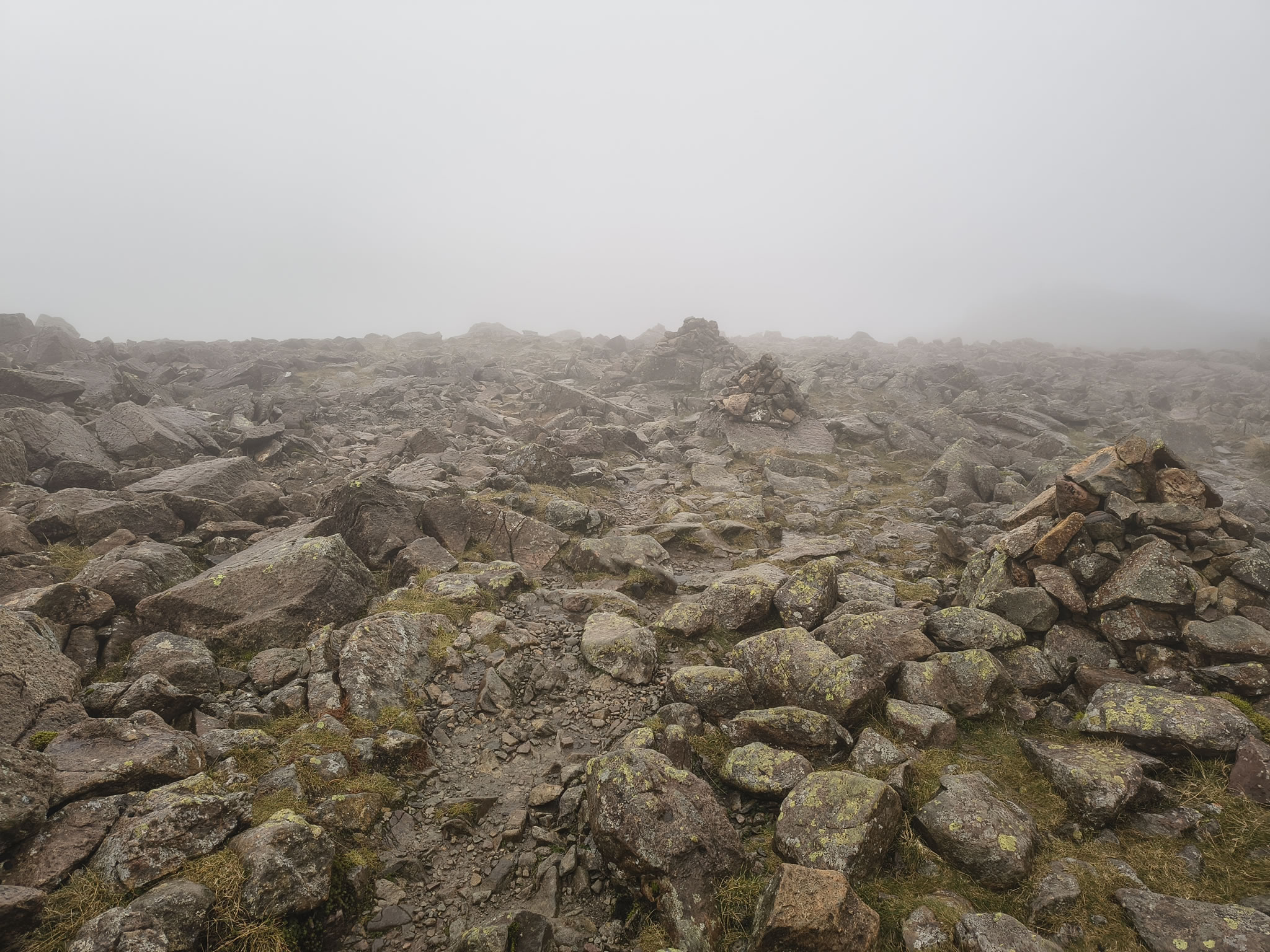
Here is Rex starting at the boulder fields ('path') towards Scafell Pike

Scafell Pike [whiteout] - Image 14, Nov 04, 2026

And right about now, I'm feeling somewhat comforted that I know this route quite well...

We meet a few people on the route across this section, some of whom are a bit lost and two young chaps who tell me they are doing it for a challenge and 'never again'. I check that they know where they're going and we continue

Scafell Pike [whiteout] - Image 15, Nov 04, 2026

Not many photos in this poor visibility until we reach Scafell Pike

Scafell Pike [whiteout] - Image 16, Nov 04, 2026

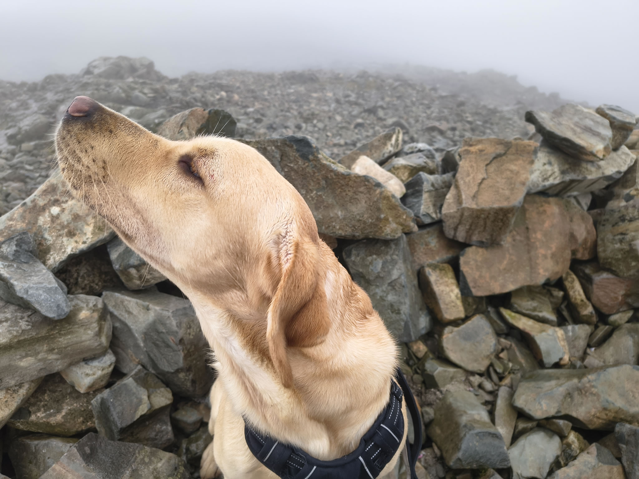
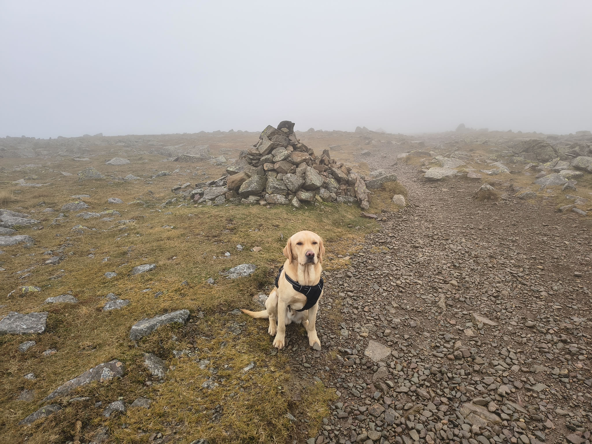
Rex has made it but he is a bit nonplussed by this mist

Scafell Pike [whiteout] - Image 1, Nov 04, 2026

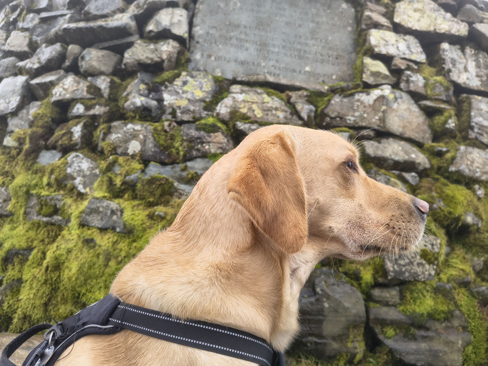
Rex, the highest dog in England (by a nose?)

Scafell Pike [whiteout] - Image 17, Nov 04, 2026

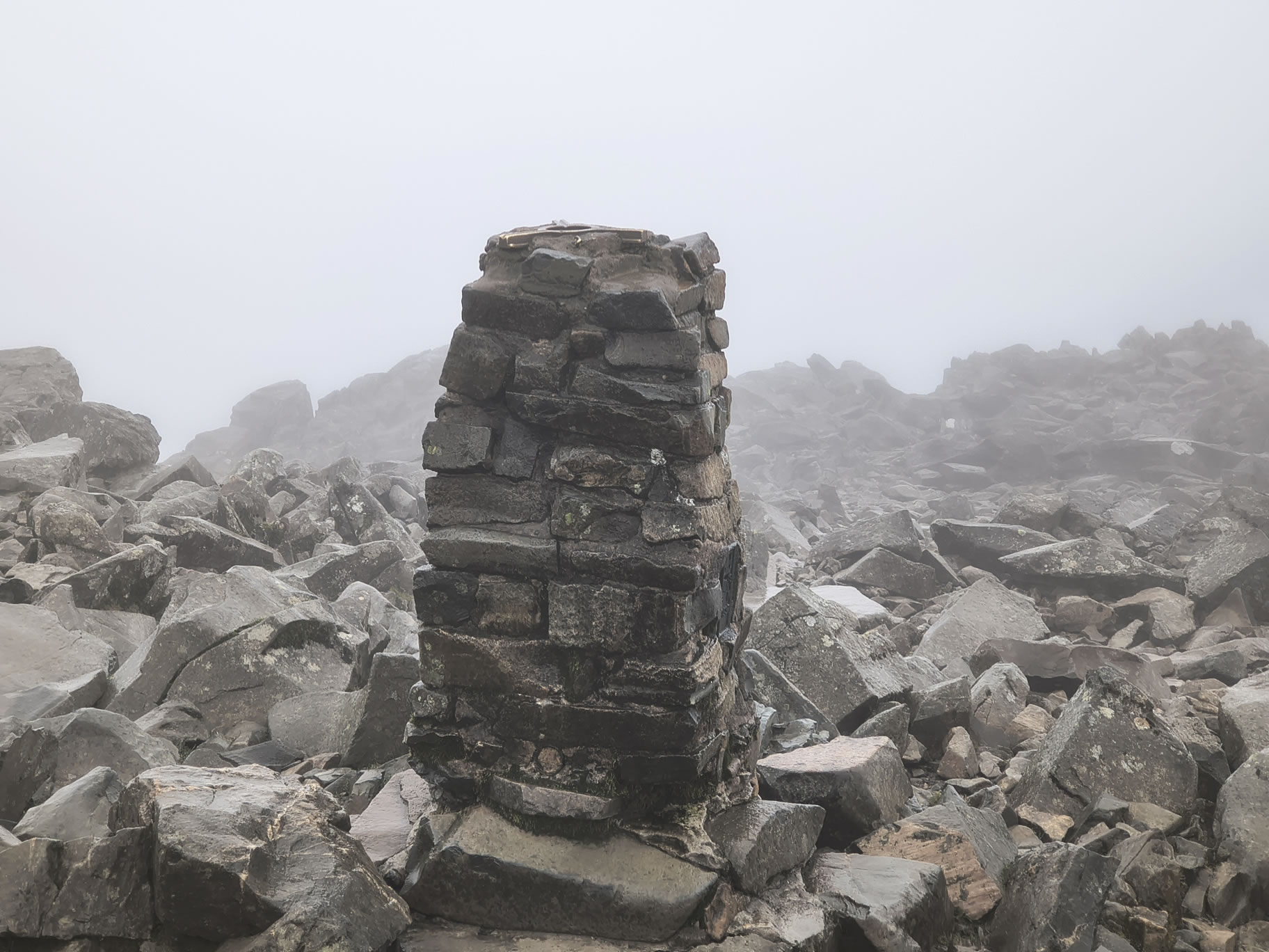
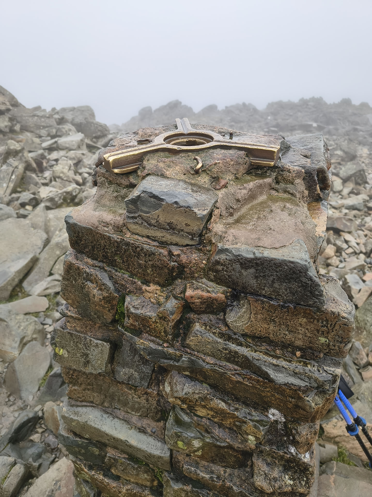
The famous trig point, taken close up because despite the heavy mist there are people milling around all over the place. Main topic of conversation: "Where are the sunny spells?" Other hikers, like us, are only up here today because of the good weather forecast.

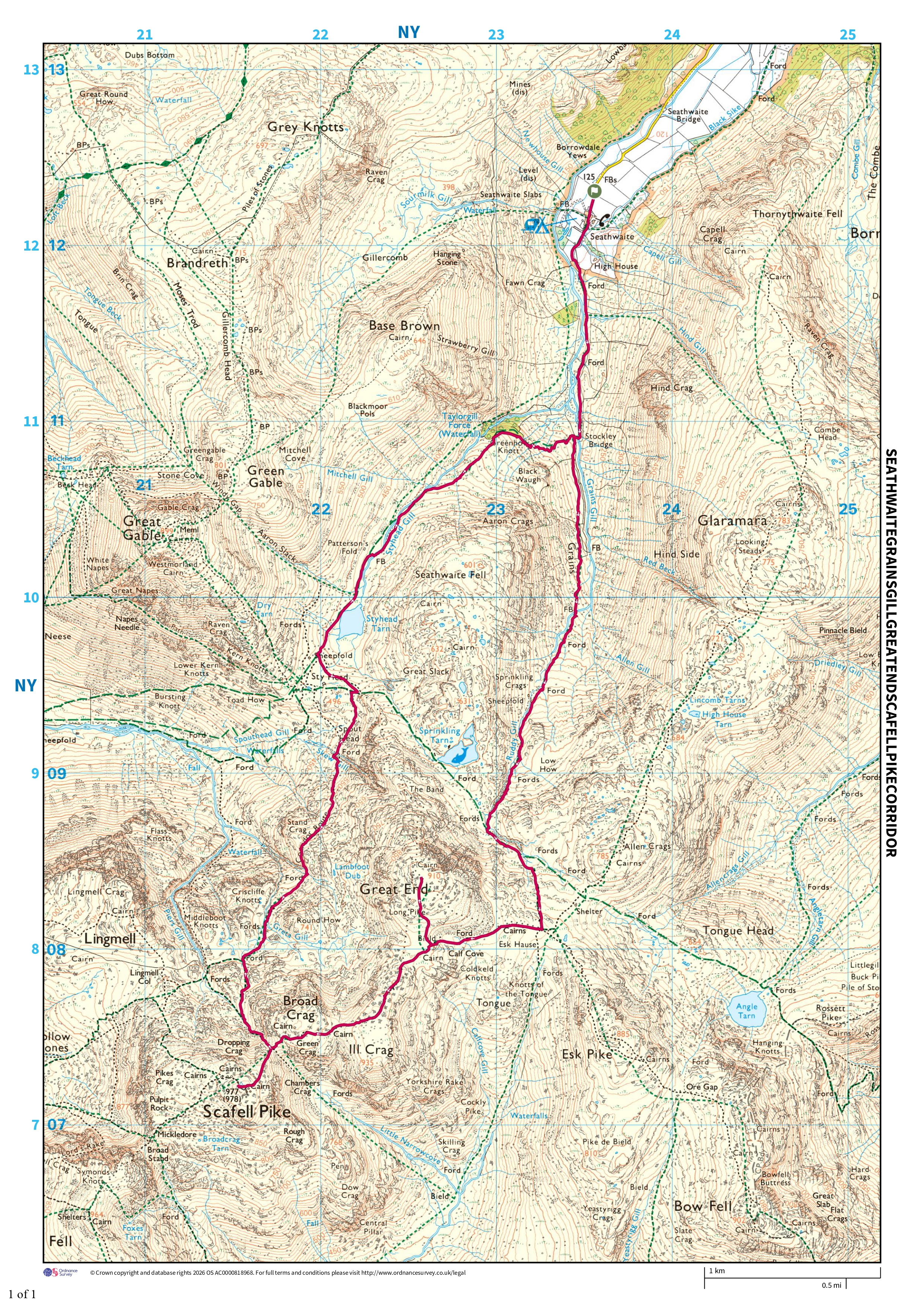
Now I have to consider our next steps. I had planned to return to Seathwaite via the Corridor Route to make the hike into a loop. However, the mist is thick and low, and it's many years since I've been on the Corridor Route.
[Of note: camera phones tend to 'improve' the weather because they have in-built algorithms to make the pics look nice. Overall it was considerably darker and murkier than shown by the photos].
I reckon we'd be OK, but elect not to risk wandering off down Piers Gill by accident to become another Mountain Rescue statistic. We decide to be sensible and return via the same path to Esk Hause, a difficult rocky route but one that I know very well indeed.

Scafell Pike [whiteout] - Image 18, Nov 04, 2026

Three minutes off the summit of Scafell Pike

Scafell Pike [whiteout] - Image 19, Nov 04, 2026

An easier bit of path on the way to Esk Hause

Once again we meet people who are lost. I'm more than happy to help out of course, but am only a hobby hiker myself. One chap wants to get to Langdale and has no idea of the direction (Esk Hause, and he more or less shadows us on the way). A couple ask me if a certain path is the one to Great End because they are disorientated. These incidents help to assure me that returning via a known route was probably wise.

Scafell Pike [whiteout] - Image 20, Nov 04, 2026
Scafell Pike [whiteout] - Image 21, Nov 04, 2026

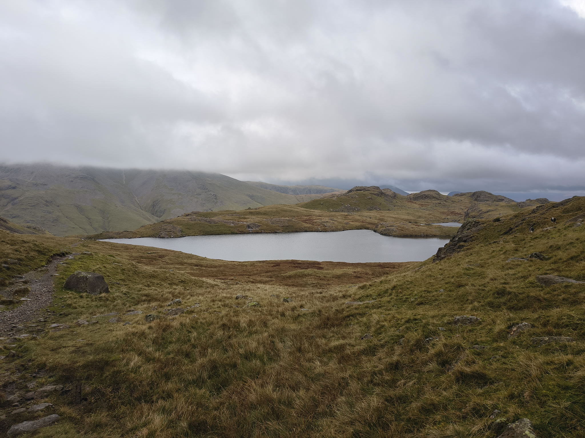
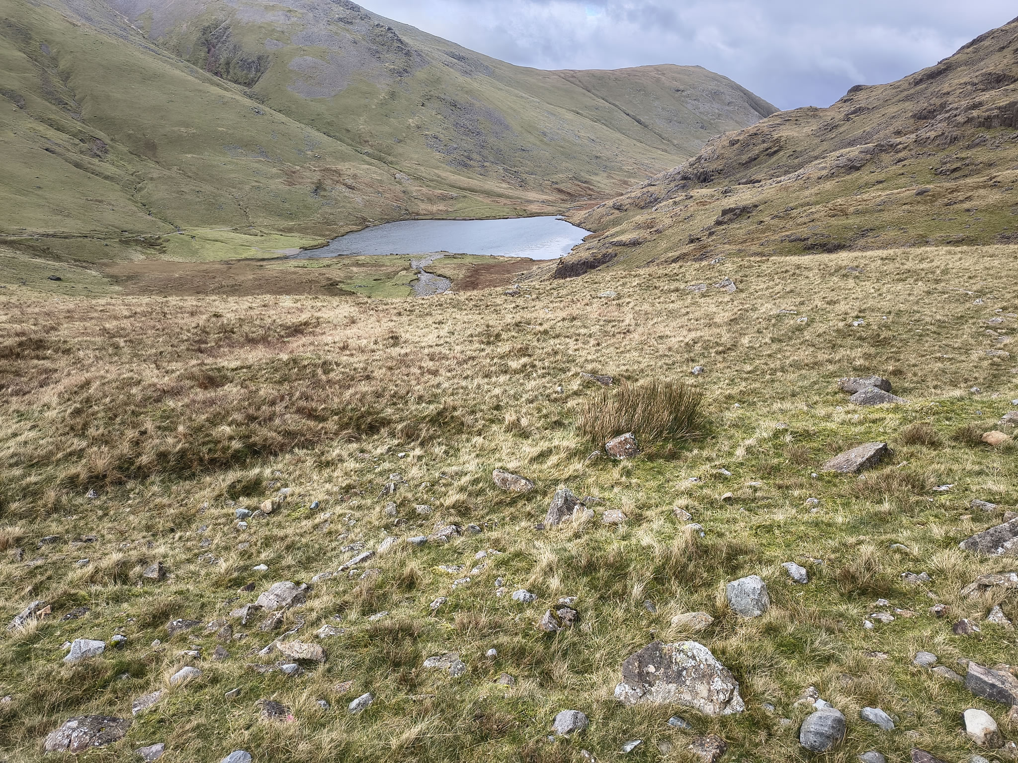
After a bizarrely silent and deliberate hike over increasingly slippery boulders in the mist, we descend safely from Esk Hause and arrive at the lovely Sprinkling Tarn, where we are safely under the clouds and visibility is normal again

Scafell Pike [whiteout] - Image 22, Nov 04, 2026

Descending towards Styhead Tarn, the ascending path left centre is Aaron Slack - the one that leads to 'Windy Gap' between Green and Great Gable

Scafell Pike [whiteout] - Image 23, Nov 04, 2026

Styhead Tarn in view

Scafell Pike [whiteout] - Image 24, Nov 04, 2026
Scafell Pike [whiteout] - Image 25, Nov 04, 2026

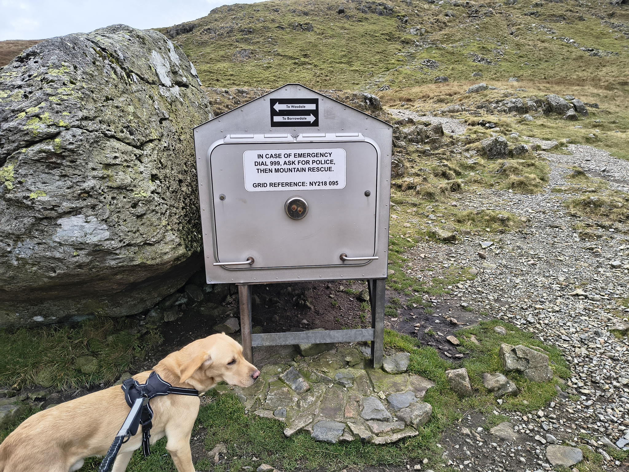
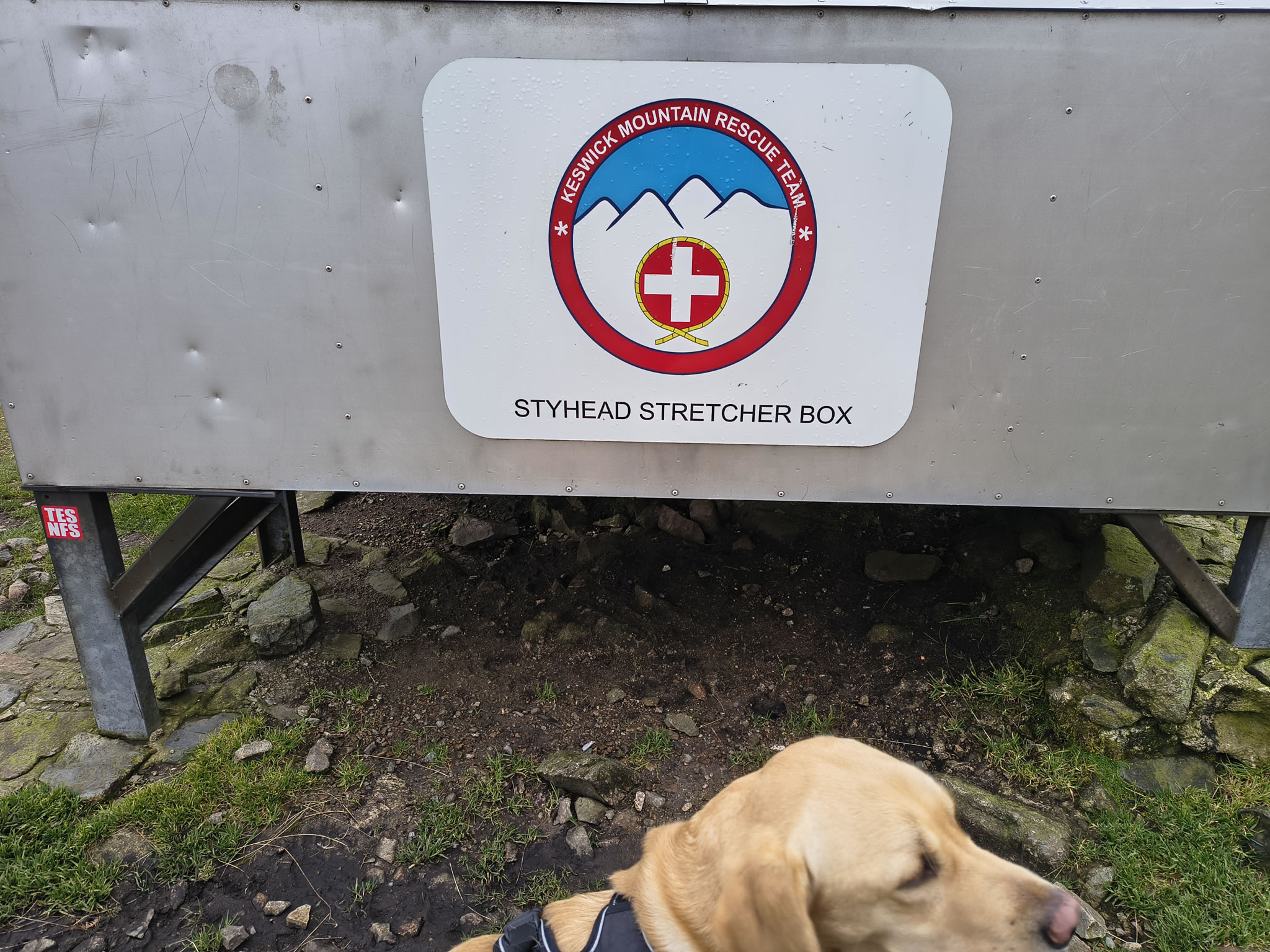
We make a very short diversion to the famous stretcher box. I hadn't remembered that it had a useful couple of directions on it !

I recommend that you stop and contemplate for a couple of minutes at the stretcher box to truly appreciate and be grateful for the tremendous efforts of the various mountain rescue teams and the fantastic work that they do. They are volunteers who venture out in all weathers to rescue lost or injured people on the fells (and even, in some cases, injured dogs). Please do not forget to support the Mountain Rescue - even small donations can make a significant difference.

Scafell Pike [whiteout] - Image 26, Nov 04, 2026

Looking behind, the clouds are still massing over the tops

Scafell Pike [whiteout] - Image 27, Nov 04, 2026

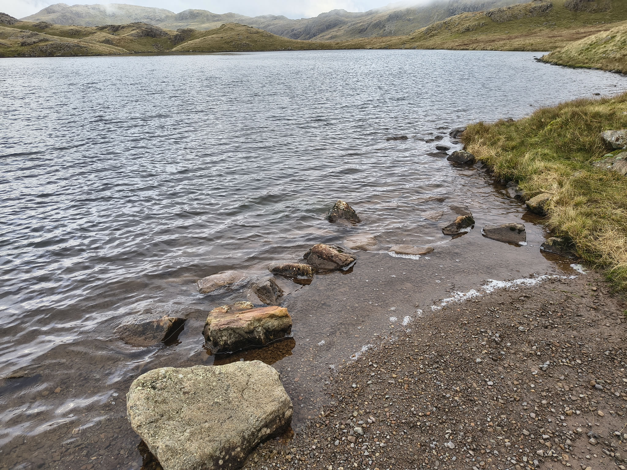
Rex has a pretty good swim in Styhead Tarn - not tired, and apparently not fussed about the temperature...

Scafell Pike [whiteout] - Image 28, Nov 04, 2026

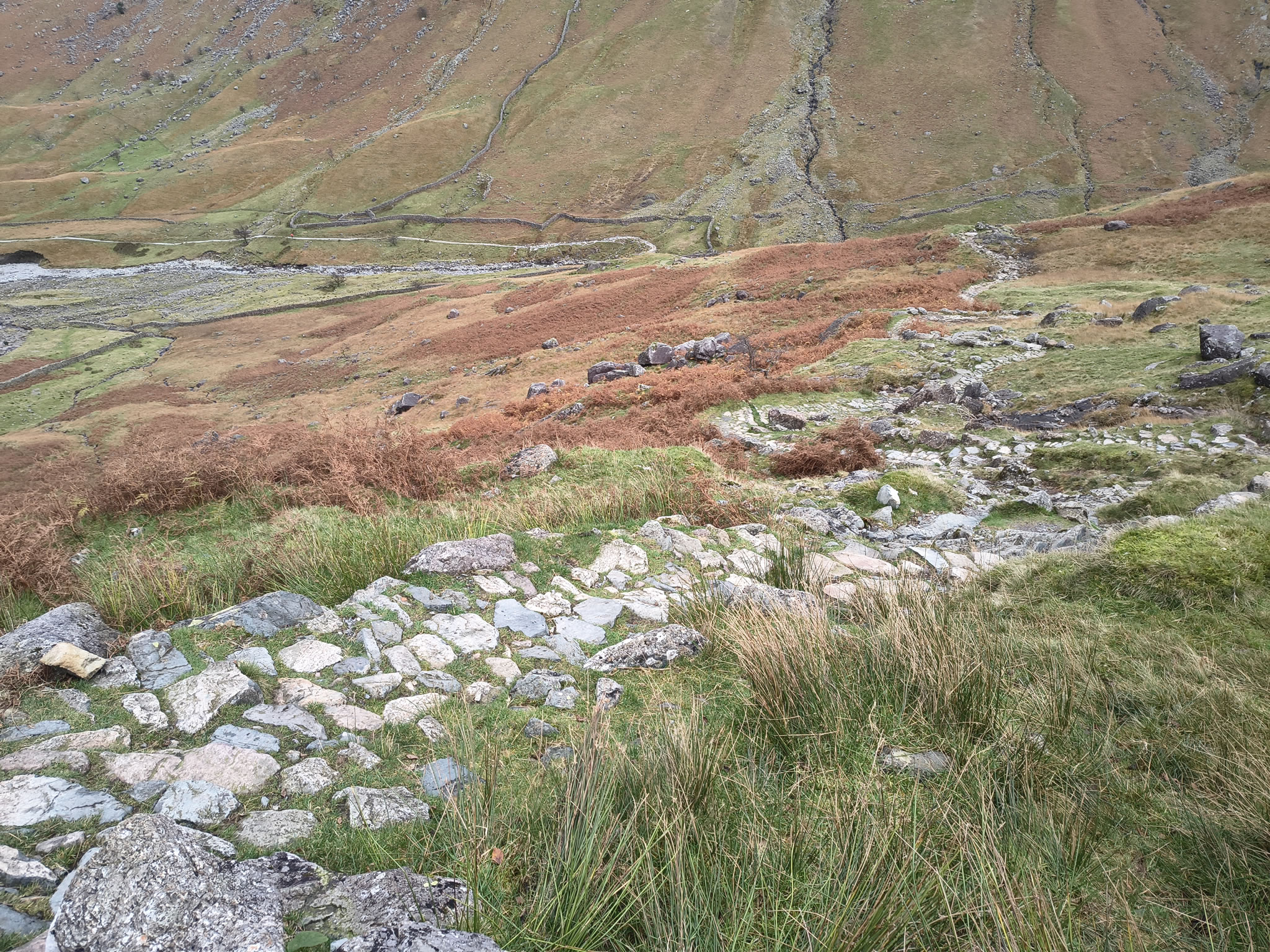
We descend via Styhead Gill and then cut across to Stockley Bridge

Scafell Pike [whiteout] - Image 29, Nov 04, 2026

where we are only about 15 mins from the start


Start: Seathwaite

1) "Honister rambler" bus from Keswick gets as close as Seatoller (about 2km)
2) Limited car parking at Seathwaite along road (Styhead Pass) [Grid Ref: NY 23562 12311] [GPS 54.500336, -3.181812] View on map. Additionally, the farmer often opens up a parking area at the farm.

Route

Seathwaite, Stockley Bridge, Grains Gill, Esk Hause, Scafell Pike, Esk Hause, Sprinkling Tarn, Styhead Tarn, Styhead Gill
Distance 15.60 km, Time 5.57 h, Total Ascent 1,031 m
Wainwright Pictorial Guide: The Southern Fells

Fells

Scafell Pike 978 m

Titbits

Seathwaite - Seathwaite, Borrowdale is the rainiest part of England.
Sprinkling Tarn - Sprinkling Tarn is blessed with a lovely name. Situated at the foot of Great End, it is said to be the source of the River Derwent.

Please do your own research to verify current routes and information on car parking, bus services and so on
Route maps from Ordnance Survey are scaled 1:25000 unless otherwise indicated.
Distance, Hike Time and Total Ascent as supplied by OS. Image shows planned route. The second route is the one we had originally planned

Distance 15.60 km, Time 5.57 h, Total Ascent 1,031 m
Route Map and Details


  You are viewing in STD mode for standard images. If you wish to see HD full size images, click here


Full-size image